*Note: The Mapping Little Rock History website is the product of a National Endowment for the Humanities grant project called Mapping Urban Fracture. These two names are used interchangeably throughout this site.
On this page, you will find examples of how people are using Mapping Little Rock History to tell important stories. Check out the K-12 Resources to see how Mapping Little Rock History can be used for curricula.
By John A Kirk, PhD
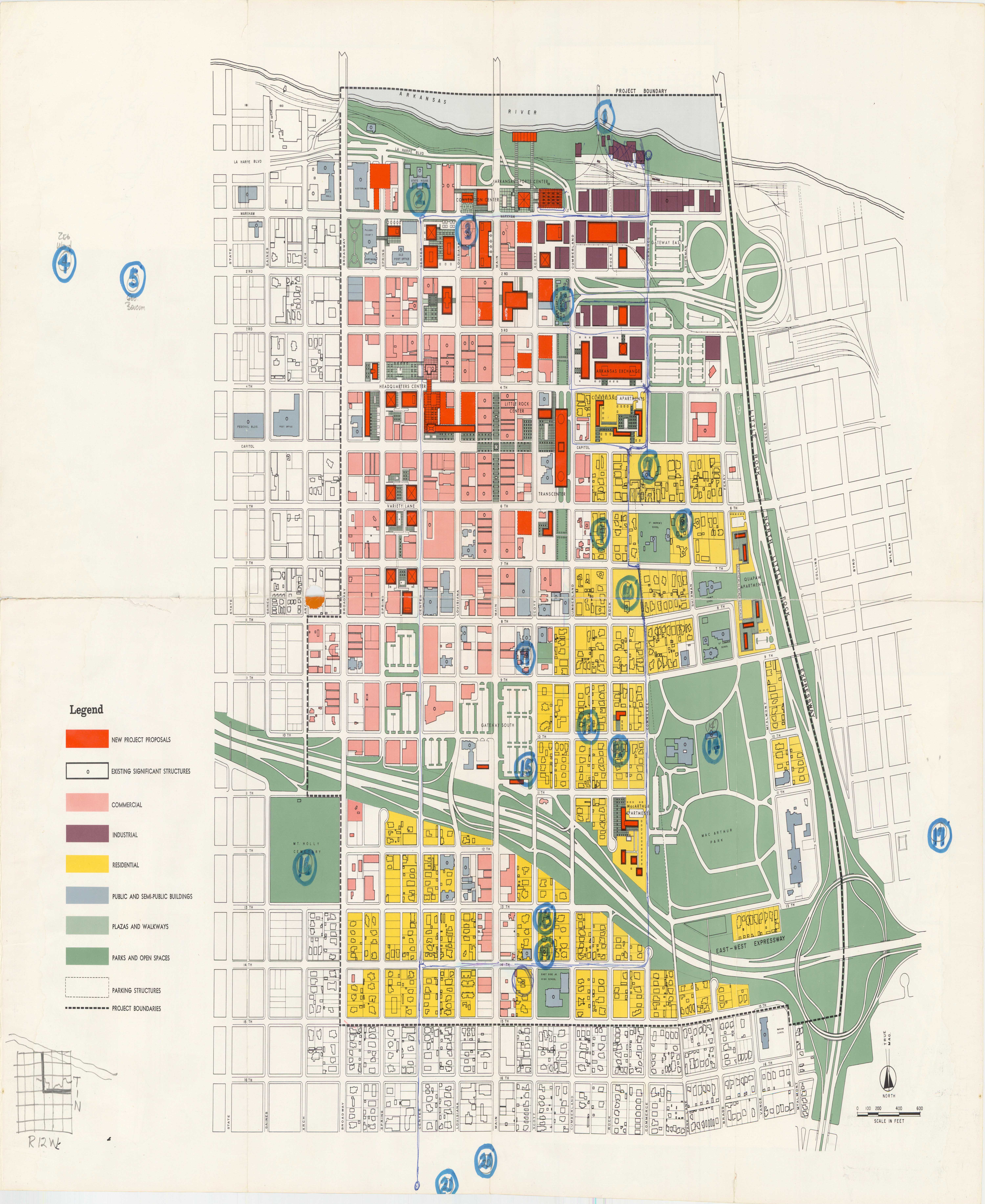
Dr. John Kirk provides a foundational overview of Little Rock, Urban Renewal, and the Little Rock School District in the context of the desegregation efforts of 1957. Kirk details and links the collections of Mapping Urban Fracture through organizational criteria such as chronology and media type. The research guide includes an exhaustive list of suggested further reading.
Jim Ross, PhD
Mapping Urban Fracture offers rich opportunities for research on the history of the Little Rock School District, central to these stories, both as victim and instigator. Dr. Jim Ross presents 33 ready-made research projects from Mapping Urban Fracture, including demographic changes, political shifts, and evolving boundaries.
How Did Urban Renewal Programs Affect Little Rock Neighborhoods and Residents?
David Baylis, PhD
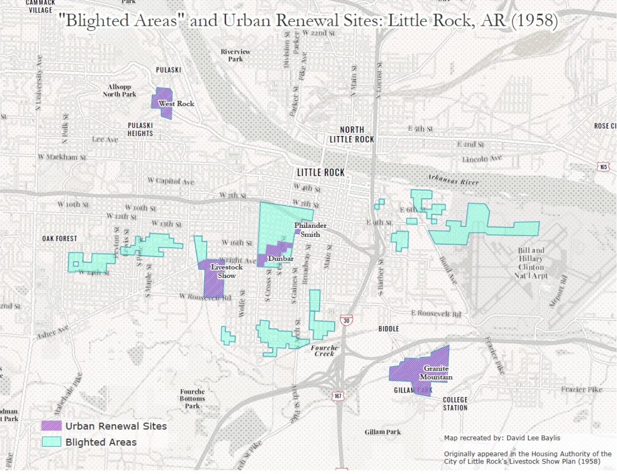
In his StoryMap, Dr. David Baylis explores how urban renewal programs of the mid-20th century affected the Livestock Show neighborhood in Little Rock, Arkansas.
Kristin Dutcher Mann, PhD
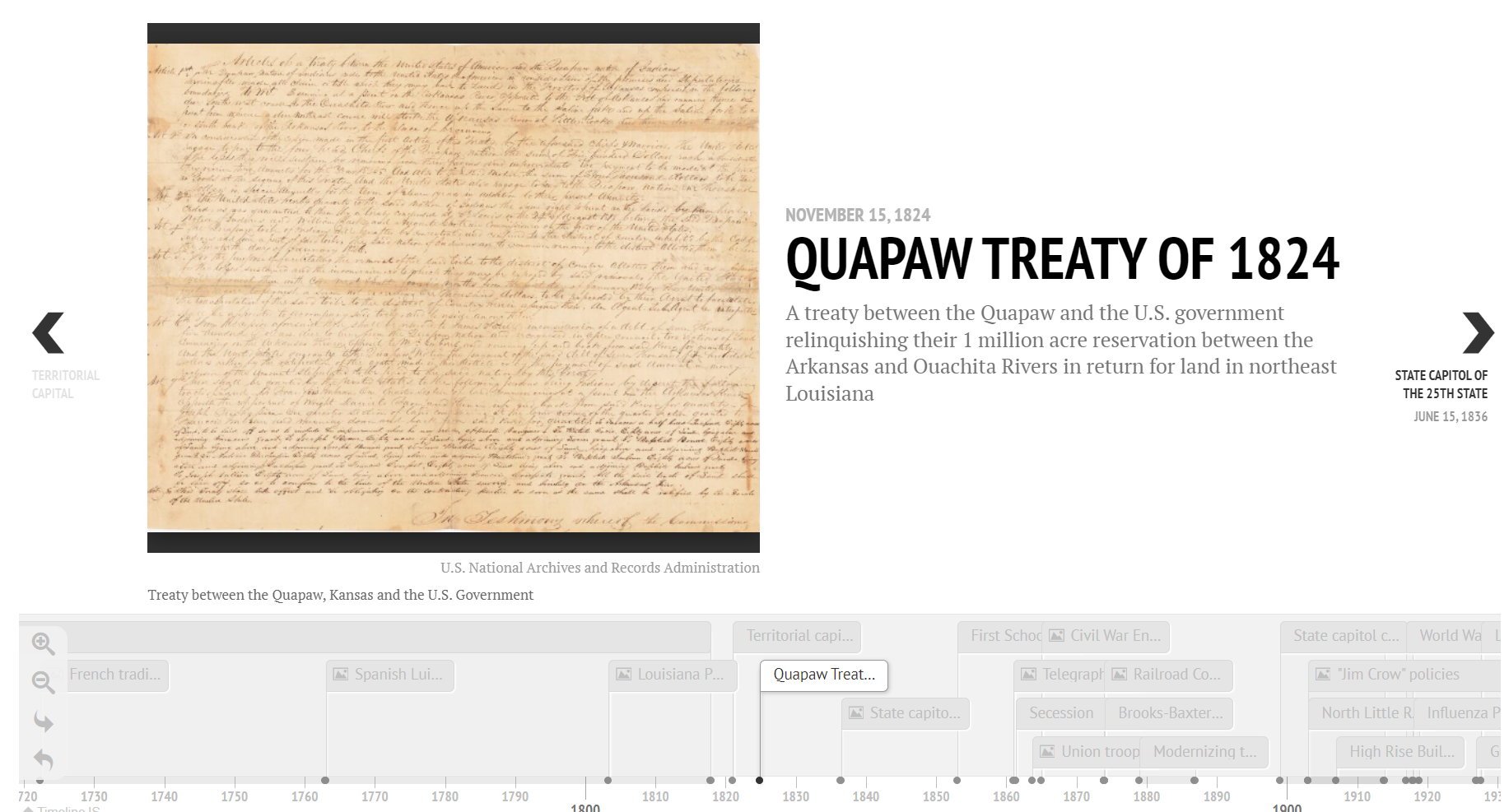
Dr. Kristin Mann built a multimedia timeline of Little Rock's history using primary sources that can be used for various activities in K-16 classrooms.
By Brian Rodgers
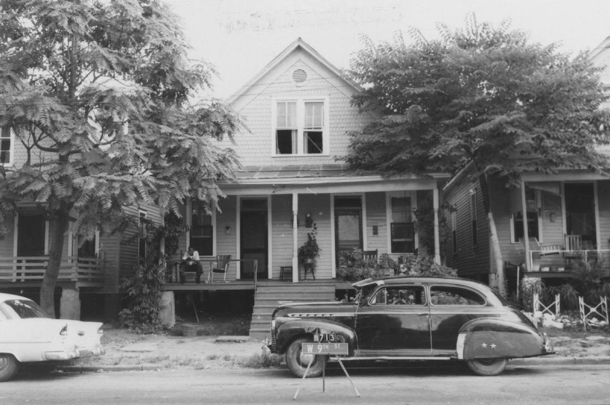
Brian Rodgers crafts a walking tour of West Ninth Street, a once-thriving Black business district. He brings attention to the impact of change over time and highlights the individuals and families who contributed to the growth of this part of the city that also experienced decline.
By Acadia Roher
Drawing from her experience as a researcher in search of details about the impacts of urban renewal on Little Rock’s neighborhoods, Acadia Roher created a database to enhance searchability of the digitized Little Rock Housing Authority scrapbooks microfilm collection, 1950-1980, (UALR.MS.0085). Her goal was to create a system that would facilitate the quick retrieval of information about people, places, and topics found throughout the scrapbooks. Using the index, a researcher interested in, for example, urban renewal impacts on schools in Granite Mountain, can quickly access a list of all relevant articles and their locations in the scrapbooks, as well as sort and filter by publication, date range, and other criteria. The user interface prototype draws on the recorded metadata to allow for retrieval of page images from specific scrapbooks relevant to the search topic.
By David Baylis, PhD
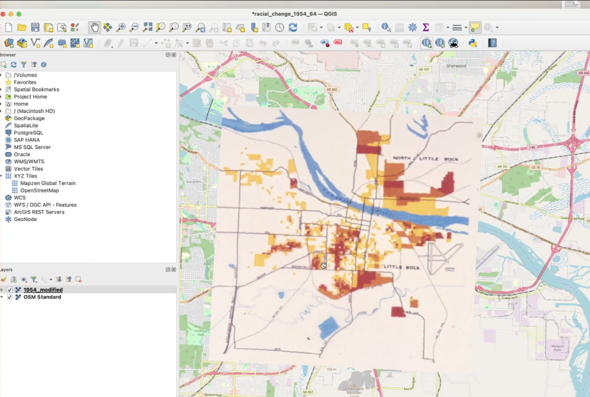
The title emphatically calls users to build and explore their maps (literally and figuratively) based on the Mapping Little Rock History materials. While this is an exciting aspect of the project, it can be intimidating for users who lack training in cartography, digital mapping, or geographic information systems (GIS). Here are a few ideas on how users can engage with the collection materials this way. Three short tutorials demonstrate how users might engage with materials found in the collection and build their new maps. These tutorials are based on standard cartographic and GIS skills. Each tutorial provides step-by-step instructions on completing the tasks. While the tasks are technical, each is presented with limited jargon to encourage engagement from a wide audience, including grade school students and senior citizens.
