There are many features to help you navigate, interact, and research with the Mapping Little Rock History site. The list below includes details of each feature and links to instructions on effectively using each feature.
For additional help, visit the Tips & How-to's page.
Search Bar
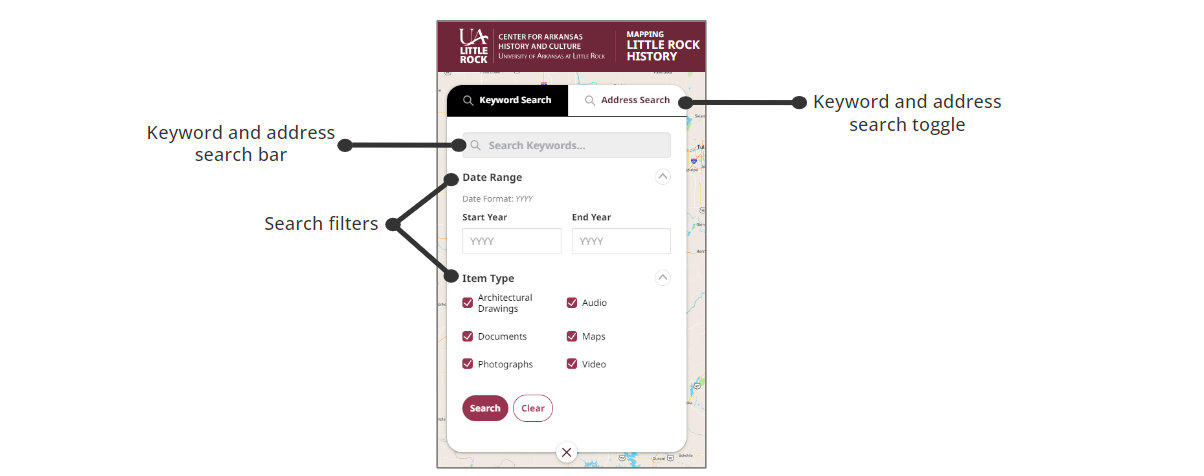
Conduct a search using keywords or an address. Further filter your search using the date range and item type filters. For tips on using the search bar, click here.
Zoom In or Out
Enhance your view of the map by zooming in or out using the buttons at the bottom right of the screen. For more information on zooming in or out, click here.
Map Layers
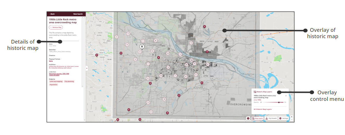
See how an area has changed over time by using the map overlay to place a historic map on top of the current Little Rock map. For instructions on how to overlay a map, click here.
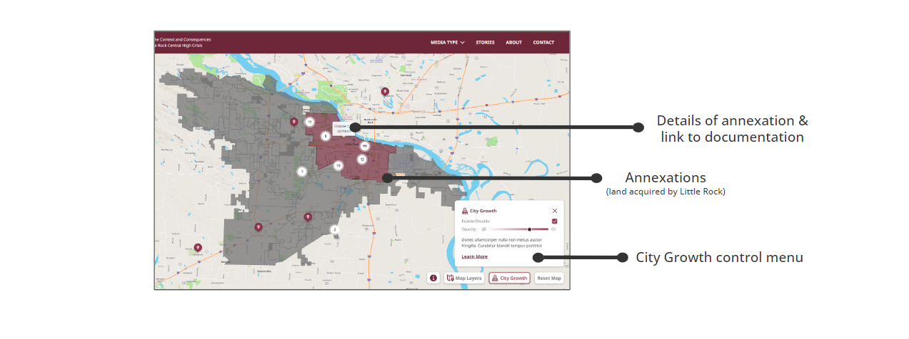
City Growth
Learn more about the expansion of Little Rock with the City Growth feature, which includes annexation details and documents. For instructions on how to use City Growth, click here.
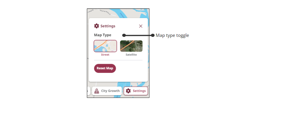
Settings
Use the settings to change the map type or reset the map. For instructions on how to toggle between street and satellite view or reset the map, click here.
*Note: The Mapping Little Rock History website is the product of a National Endowment for the Humanities grant project called Mapping Urban Fracture. These two names are used interchangeably throughout this site.
