On this page, you will find examples of how the Mapping Little Rock History site can be used for curricula. Included here are three ready-made lesson plans suitable for U.S. History and World Geography. Check out the Created Content to see how people are using the site to tell important stories.
Lesson Plan 1: Why Do Cities Change?
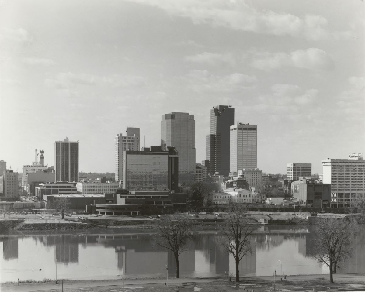
In this activity, you will look at old city planning sketches and photos showing changes to Downtown Little Rock. These photos will help us learn how cities change over time.
Period: ~1950 - 1996
Subject(s): US History since 1929, World Geography
Type: Lesson Plan
Lesson Plan 2: How Do Transportation Changes Affect a City?
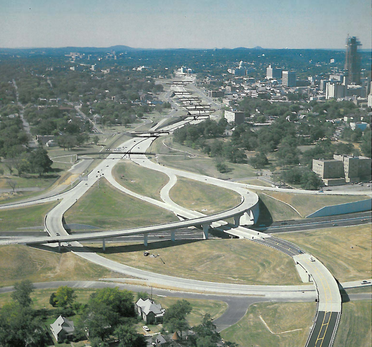
In this activity, you will examine primary sources on the I-630 interstate in Little Rock, Arkansas, to discover how this transportation project changed the cultural, economic, and demographic makeup of Little Rock.
Period: ~1945 - 2000
Subject(s): US History since 1929, World Geography
Type: Lesson Plan
Lesson Plan 3: Assessment
Exploring the Intersection of Geography and History in the American South
We will use the source analysis exercises included to understand better how and why geography shaped the experiences of people who lived and worked in Little Rock, Arkansas, in the 1960s. You will use the evidence you select, analyze, and interpret to inform a written response to the Unit Essential Question (AEQ): why do cities change?
Subject(s): US History since 1929, World Geography
Type: Assessment
Lesson Plan 4: Cities and the Environment
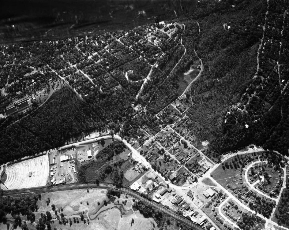
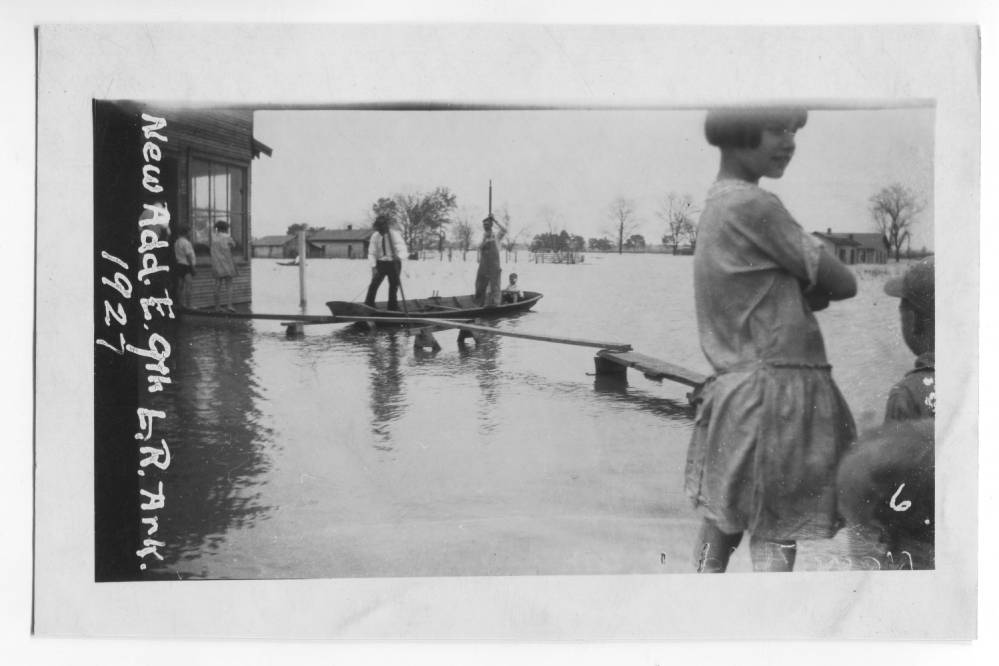
In this activity, you will examine primary sources on cities and the environment and how they impact each other.
Subject(s): US History since 1929, World Geography, Arkansas History
Type: Lesson Plan
*Note: The Mapping Little Rock History website is the product of a National Endowment for the Humanities grant project called Mapping Urban Fracture. These two names are used interchangeably throughout this site.


