Map Showing the Principal Meridians and Base Lines in the United States, 1913
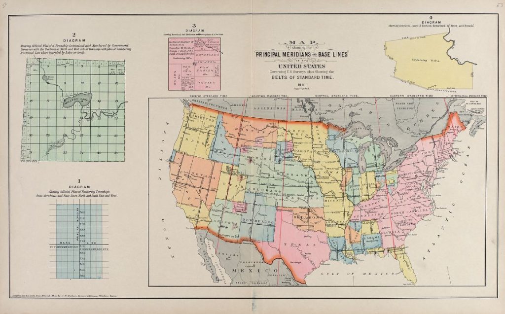
Map of the principal meridians and base lines surveyed in the United States, 1911, with inserts of townships, sections, and the plan of numbering townships from meridians and base lines.
Questions:
How can you use this map to explain the importance of surveying an area? What happens after you survey an area?
How do the inserts of townships help you explain the act of surveying?
How does this map compare to the 1802 map of the United States? What do you see that is different?
What did you find out from this map that you might not learn from other sources?
What does this map tell you about Arkansas?
What questions do you have about this map?