One of the goals of the CCC in building cabins in state parks was to provide places that invite people to interact with nature. The six CCC cabin sites in Arkansas still in use today accomplish this goal in one of the best ways possible. When you stay at one of these sites, you are immersed in a landscape of Arkansas.
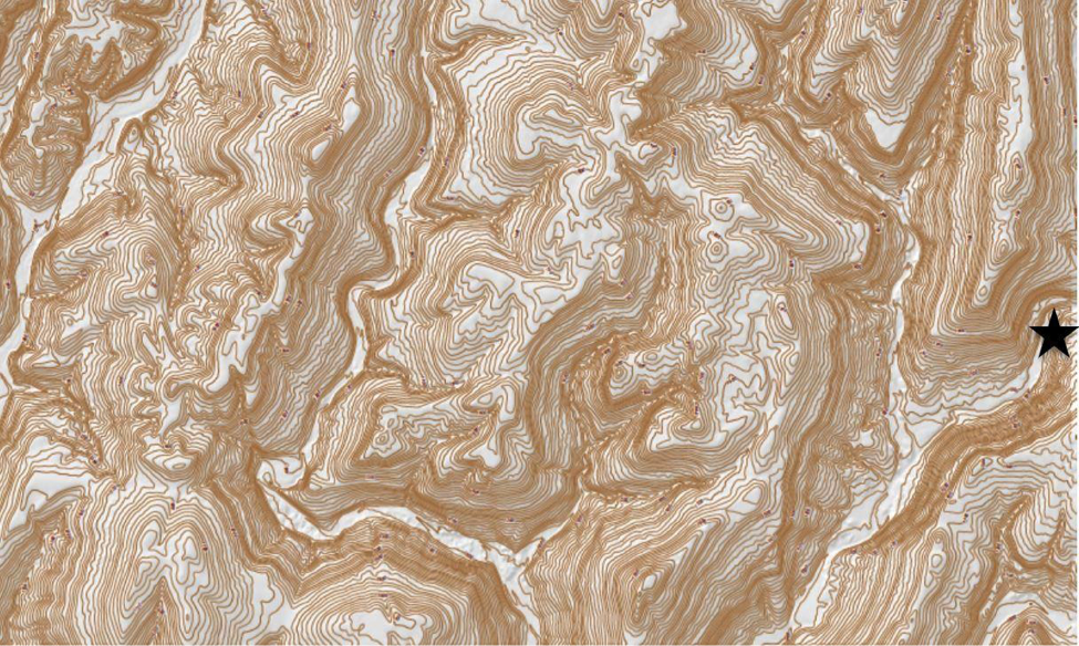
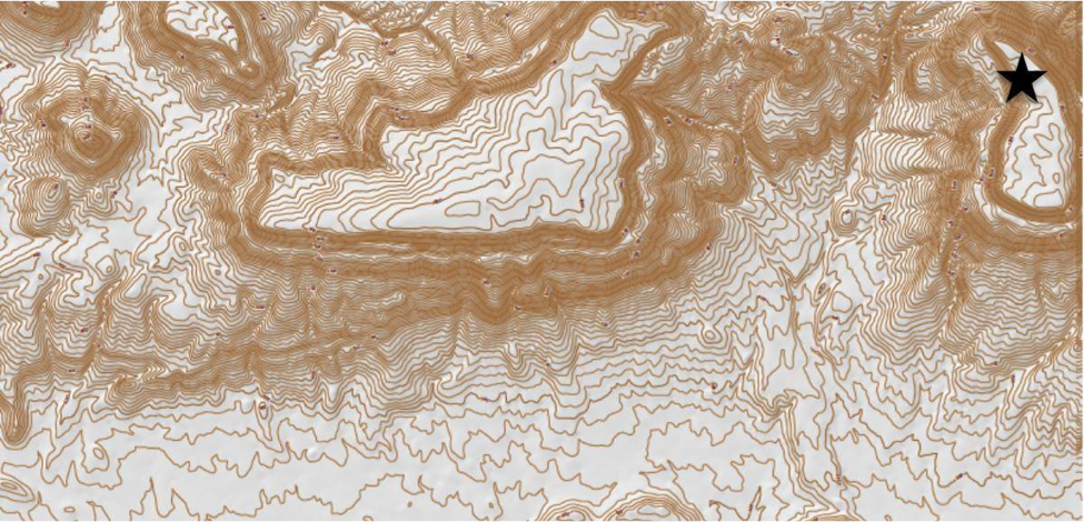
A stay in a CCC cabin at Devil’s Den State Park or Buffalo Point in the Buffalo River National Park takes you to the Ozark Plateau. This landscape is a broad region of high elevations, underlain by mostly flat to gently-sloped sedimentary rock layers of sandstone, limestone, and shales. Because the rocks are flat-lying, erosion by streams exposes the rock layers in such a way that they parallel the shape of the branching, tree-like drainage pattern of the streams. The Devil’s Den cabin site is near the juncture of two-stream branches that have cut narrow steep-walled canyons into the western end of the Ozark Plateau. Buffalo Point is closer to the eastern edge of the Plateau. Cabins here sit a bit upslope from the bottom of a broad deep canyon that was cut by the Buffalo River, arguably the most spectacular canyon in Arkansas.
Location of Devil’s Den CCC cabin site
Location of Buffalo Point CCC Cabin site
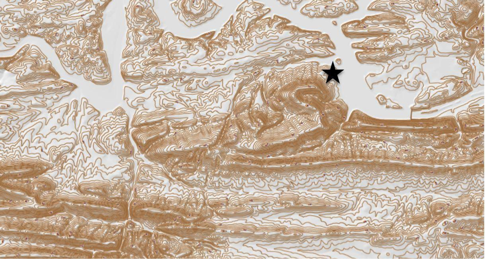
Visitors to a CCC cabin at Mt. Nebo State Park or Petit Jean State Park will see the landscape of the Arkansas River Valley. This terrain is characterized by sedimentary layers of sandstones and shales that have been folded into widely spaced up-arched anticlines and down-warped synclines. The Arkansas River and its major tributaries cut into these folded rocks removing much of the former topography. This left isolated mesas, their tops standing at similar elevations high above the Arkansas River. The cabins at Mt. Nebo take full advantage of the dramatic cliffs on the edge of one such mesa, where visitors can see flat-topped mountains in the distance, as well as the farmland developed on the floodplains below. At Petit Jean, the CCC cabins are along a canyon’s edge where Cedar Creek Falls continues to actively eat away at the edge of the top of Petit Jean Mountain.
Location of Mt. Nebo CCC Cabin site
Location of Petit Jean CCC Cabin site
The CCC cabins in Lake Catherine State Park are in the Ouachita Mountains. This landscape is characterized by tightly folded and faulted sedimentary layers of sandstone, shale, and chert. Erosion of these features reveals linear ridges where the rock types are hard to erode alternating with linear valleys where the rocks are easier to erode. Downcutting by the Ouachita River created notches through the resistant ridges, whereas smaller streams preferentially follow the softer rocks. The cabins at Lake Catherine State Park are situated on the edge of one such valley and ridge system.
Location of Lake Catherine CCC Cabin site
The cabin at Crowley’s Ridge State Park is in the Mississippi Alluvial Plain. This region of Arkansas has been dominated by deposition. It is characterized by very flat topography formed on top of sand, gravel, and mud that was deposited in the floodplain of the Mississippi River and its major tributaries. A notable exception to the flat land is Crowley’s Ridge, which is a narrow zone of modest topographic relief. It was originally formed as a layer of windblown dust deposited during the last ice age. Since that time, erosion by small streams has slowly reduced it to its current form. The CCC cabin at Crowley’s Ridge gives vantage to both the Crowley’s Ridge and the Mississippi Alluvial Plain.
For more information about Arkansas’ landscapes see (link to Arkansas Geological Survey – Physiographic provinces).
Location of Crowley’s Ridge CCC site
Header Image: Cabin at Buffalo Point State Park, 2019. Photograph by Acadia Roher.
For More Information:
Everhart, William, C. The National Park Service. Boulder, CO: Westview Press, 1983: 197.
Thelin, G.P., and Pike, R.J. Landforms of the conterminous United States—A digital shaded-relief portrayal, U.S. Geological Survey Miscellaneous Investigations Series Map I 2206, scale 1:3,500,000, 1991.
“Geology Resources.” Arkansas Geological Survey. http//www.geology.arkansas.gov/education/geology-resources.html.
About the Author:
Dr. Margaret E. (Beth) McMillan is a professor of geology in the Department of Earth Sciences at UA Little Rock.


