By Acadia Roher
Are you fascinated by the stories of how Little Rock has changed over time? A massive urban renewal effort from the 1950s to the mid-1970s is largely responsible for the city we navigate today. Urban renewal shifted neighborhoods, redeveloped downtown, sped the expansion of western suburbs, built public housing, and led to the construction of interstates and roads.
To reshape the city, private business and government agencies across Central Arkansas collaborated primarily through the Metropolitan Area Planning Commission of Pulaski County, now known as Metroplan. Metroplan is the entity responsible for planning and resourcing most of our public infrastructure such as the water that comes out of the tap, the bus system that traverses the streets, and the bridges that cross the Arkansas River.
What if you wanted to dig into the details of how exactly this infrastructure was developed? Luckily, we at the Mapping Renewal project are busy digitizing a series of reports going back to the 1950s that were given to the Center for Arkansas History and Culture by Metroplan. Eventually, these resources will be available to the public via an interactive online map, thanks to a grant from the National Endowment for the Humanities.
A wide variety of scholars will find research uses among the as-yet unprocessed maps and reports. These primary sources cover a diversity of city and regional planning topics, from water resources to schools to public transit to industrial development.
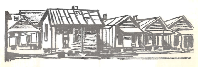
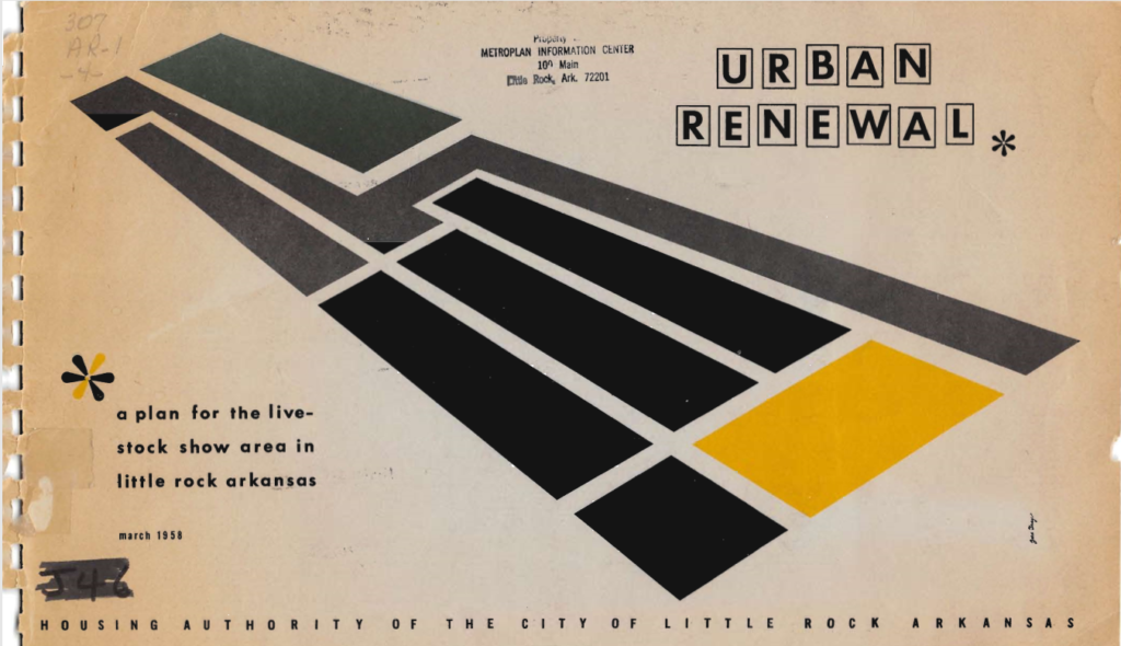
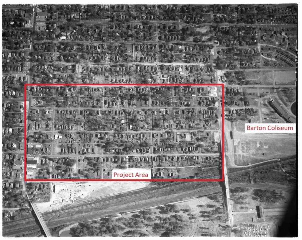
A few reports address specific urban renewal project sites, such as the Livestock Show Area off Roosevelt Road near the South End. A 67-page report from March 1958 about this project site uses detailed text, illustrations, and maps to lay out the relocation, demolition, and redevelopment process planned by white city planners and developers for a predominantly Black neighborhood.

Researchers have a lot to dig into here, including:
- A map (page 67) showing every structure in the project area and its rating of standard, deteriorating, or substandard with accompanying statistics (page 29),
- Overview of planned changes in zoning, streets, public utilities, and drainage (pages 7-10) and a more detailed report (pages 38-42),
- Names throughout of businesses and organizations involved in the project in various ways, such as the Citizens Coach Company, Urban League of Little Rock Housing Committee, and Arkansas Mortgage Bankers’ Association,
- Project planners’ descriptions of the residents living in the project area (pages 46-51),
- A list of the housing options elsewhere in the city available to Black residents affected by displacement (pages 48-49), and
- A list of the property owners and square footage of parcels within the project boundary that were acquired by the Housing Authority during the project (page 61).
Geographers, historians, sociologists, planners, and housing and public health officials studying issues of displacement, race, class, city development, and housing will find this data particularly rich. Layers of complexity can be added by viewing photographs of the area from another collection we have digitized for this project, the Earl Saunders, Jr. photograph collection.
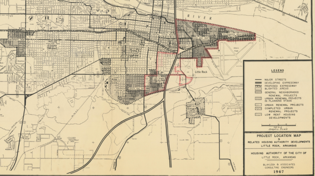
Photos and reports can also be supplemented by maps collected by Metroplan. When the mapping platform is built out, researchers will be able to view items such as the photographs above while simultaneously examining historic maps like the one below, all layered on a current day map of the area.